send link to app
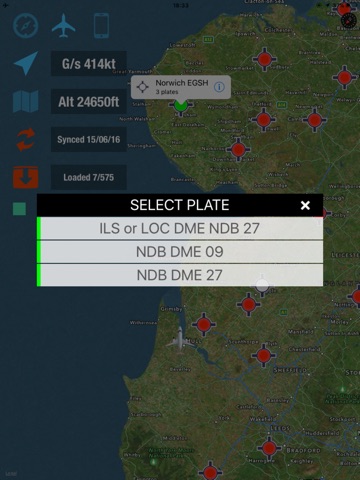
gCAP Plates app for iPhone and iPad
The app is designed for pilots who fly on instruments. It displays as a moving map but overlays flight data, which is created by us and uploaded onto our server and is available only to licence holders. We control the licences from outside the app. Pilots can see and overlay any plates or data to which their licence entitles them. Please do not buy this app unless you have a gCAP plates licence otherwise youll not be able to use it except as a moving map. Note that this is not a georeferenced plates app, although we are working on incorporating georeferencing.


